Thwaites Glacier Is Melting Faster Than We Ever Feared
Here’s the thing about Thwaites Glacier melting: six centimeters of ice can vanish in a single tidal cycle, and nobody onshore feels it. A glacier the size of Florida, dissolving from the bottom up, in a place 1,600 kilometers from the nearest human outpost. The numbers were already bad. Then the robots went under the ice — and the numbers got worse.
British and American scientists have spent years drilling, diving, and enduring minus 30°C winds to understand exactly how fast Thwaites is slipping. What they’ve found has rewritten the models — and the warnings. The open question isn’t whether Thwaites will collapse. It’s whether anything we do now can matter at all.
Key Facts
- Thwaites Glacier’s grounding line, where ice meets bedrock beneath the sea, retreated by as much as 14 kilometers between 1990 and 2022, per the British Antarctic Survey.
- The glacier is retreating at roughly twice the rate that climate models predicted a decade ago, according to the 2023 International Thwaites Glacier Collaboration synthesis.
- Thwaites alone holds enough ice to raise global sea levels by more than two feet (200 cm), and its collapse could push that toward 10 feet.
- In 2022, the Icefin underwater robot captured the first direct imagery of the grounding zone, recording melt rates up to 30 meters per year in some channels.
- The Amundsen Sea has warmed by roughly 1 degree Celsius since the 1990s, sustaining year-round basal melt beneath the ice.
In short: Thwaites Glacier melting is accelerating: its grounding line retreated up to 14 kilometers between 1990 and 2022, and it now retreats at twice the predicted rate. Warm Amundsen Sea water eats the ice from below, and the Florida-sized glacier holds over two feet of sea level rise, threatening a cascade across West Antarctica.
The Glacier That Could Drown Our Coastlines
Thwaites sits at the edge of the West Antarctic Ice Sheet, a vast frozen reservoir holding enough water to raise global sea levels by roughly 65 meters if it all melted. Thwaites alone accounts for more than two feet of potential sea level rise — and its collapse could destabilize neighboring glaciers, pushing that figure toward 10 feet. In 2023, researchers from the International Thwaites Glacier Collaboration, a joint effort by the British Antarctic Survey and the National Science Foundation, published alarming findings: the glacier is retreating at twice the rate that climate models predicted just a decade ago.
The grounding line — the critical boundary where ice meets bedrock beneath the sea — has pulled back by as much as 14 kilometers since 1990. That’s not drift. That’s a structural failure in slow motion, and it’s accelerating.
Warm, salty water from the Amundsen Sea creeps beneath the glacier’s floating ice shelf and eats the ice from below. Unlike surface melting visible from a satellite image, this basal melt is invisible until it’s already done catastrophic damage (researchers actually call this “bottom-up destabilization”) — and it’s far more dangerous than the surface melt we can track from space. The warmer the ocean water, the faster the underbelly dissolves. And the Amundsen Sea has warmed measurably since systematic ocean monitoring began in the 1990s.
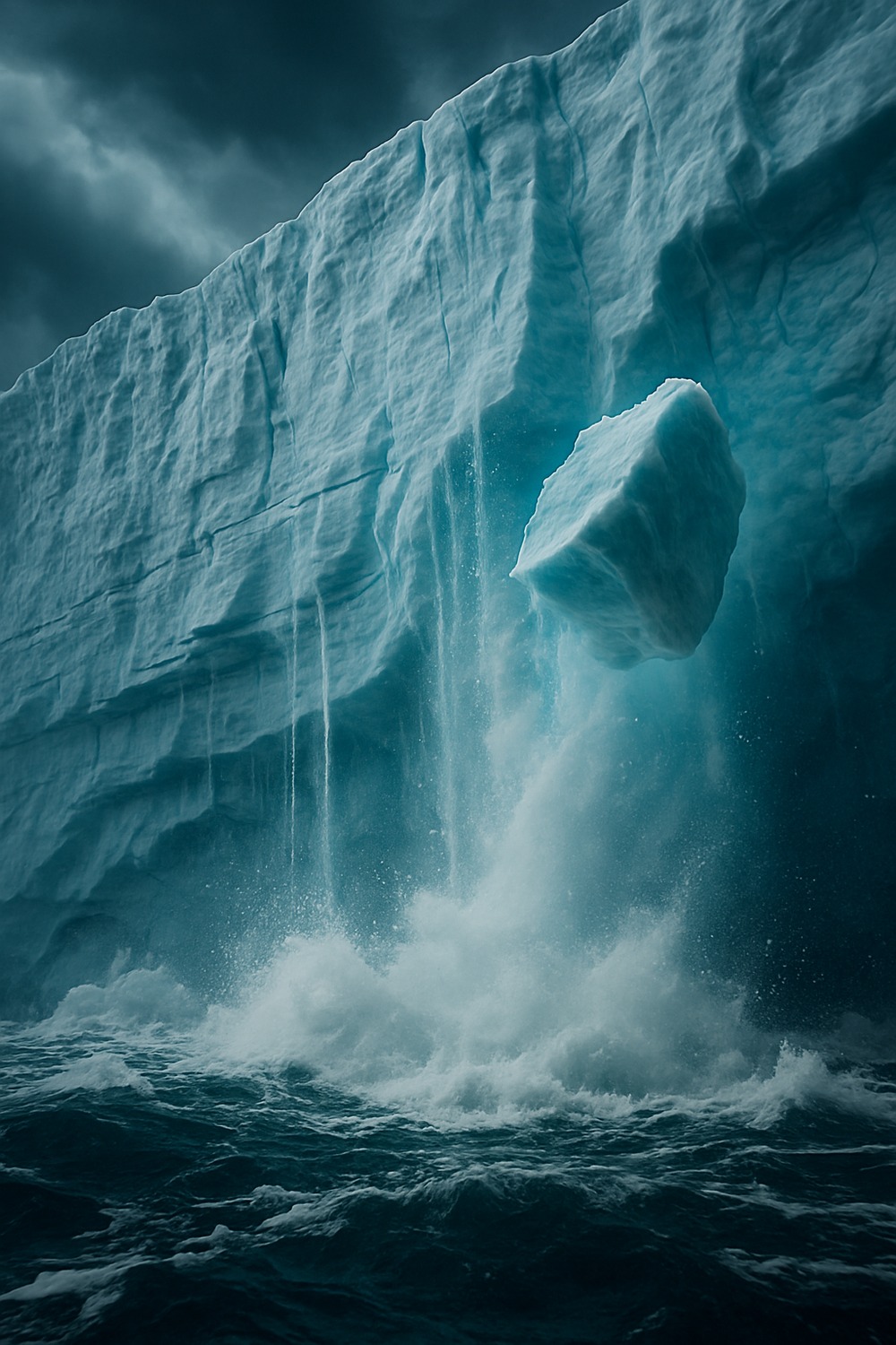
Stand at the glacier’s calving front and you’d hear it before you saw it — a low, resonant crack splitting the silence before a building-sized chunk of ice tilts and slides into black water. That sound is the planet adjusting to a burden we placed on it. It doesn’t negotiate. It doesn’t pause.
What Ocean Water Is Actually Doing Beneath the Ice
What makes the Thwaites story so difficult to sit with is that it’s almost entirely submarine — invisible, unfilmable, playing out in darkness half a kilometer below the surface. Just as the ocean reshapes coastlines in ways you’d only notice reading about Australia’s prehistoric fossil beaches scattered beneath popular surf breaks, it’s quietly dismantling one of Antarctica’s most critical structures from below. The grounding line is the keystone. As long as it holds, the glacier’s inland ice remains anchored to bedrock, slowing seaward flow.
Why does this matter? Because warm ocean water tunneling into the cavity beneath the ice shelf can push that line further inland, onto bedrock that slopes downward away from the sea — and that geometry creates a feedback loop with no natural braking mechanism. The deeper the grounding line retreats, the taller the ice cliff exposed to the ocean, the faster the whole structure sheds mass. University of Washington glaciologist Ian Joughin modeled this instability as early as 2014 and warned it may already be irreversible. A decade later, the fieldwork suggests he was right.
In 2022, an underwater robot called Icefin — deployed through a narrow borehole drilled by the Thwaites Interdisciplinary Margin Evolution (TIME) team — captured the first-ever direct imagery of the glacier’s grounding zone. What it found was disturbing: not a clean, smooth interface between ice and bedrock, but a fractured, staircase-like landscape riddled with channels where warm water flowed freely. Melt rates at some of those channels hit 30 meters per year. Other zones melted more slowly, but the channels focused warm water precisely where the ice was structurally most vulnerable.
Britney Schmidt, a glaciologist at Cornell University who led the Icefin deployment, described it as seeing something nobody had ever seen before. Not metaphorically. Literally — no human or machine had ever reached that place. What she saw changed the team’s understanding of how quickly the collapse could proceed.
A Domino Effect Decades in the Making
Thwaites doesn’t exist in isolation. It acts as a buttress for the broader West Antarctic Ice Sheet, and its retreat is already triggering changes in adjacent glaciers — Pine Island, Smith, Kohler — that are themselves losing mass faster than at any point in the observational record. According to research published in Nature Geoscience, the combined sea level contribution from West Antarctic glaciers has tripled since the 1990s, from roughly 0.3 millimeters per year to nearly 1 millimeter per year by the early 2020s.
That sounds small. But sea level rise is cumulative and permanent, and a single millimeter per year becomes a meter per century — a century that includes every coastal city on Earth. New York, Mumbai, Jakarta, Amsterdam, Miami: none of them were built for that math. At this point, calling it a “slow crisis” is a courtesy the data no longer extends.
What makes Thwaites Glacier melting particularly alarming is that the warming driving it isn’t some future scenario — it’s already here. The Amundsen Sea has warmed by roughly 1°C since the 1990s, enough to shift the thermocline, draw more warm Circumpolar Deep Water toward the continental shelf, and sustain the basal melt year-round. Researchers at Columbia University’s Lamont-Doherty Earth Observatory have linked this ocean warming directly to shifts in the atmospheric pressure systems that govern Southern Ocean circulation — pressure systems that are, in turn, partly driven by greenhouse gas concentrations in the atmosphere. The chain from tailpipe to glacier is measurable, documented, and unbroken.
If Thwaites crosses a tipping point — if the grounding line retreats past a critical threshold of bedrock geometry — its collapse becomes self-sustaining regardless of what happens to atmospheric CO₂. We wouldn’t be watching a glacier melt. We’d be watching a geological process play out in real time, one that can’t be recalled or renegotiated. That’s the definition of a one-way door.
Thwaites Glacier Melting and What Science Can Still Do
A slower Thwaites retreat buys coastal cities decades — time to build sea walls, relocate infrastructure, redesign drainage systems, and give low-lying communities a fighting chance. The rate of collapse still matters, even if the direction is fixed. The difference between a two-foot rise by 2100 and a four-foot rise isn’t academic. It’s the difference between managed adaptation and humanitarian catastrophe.
In 2023, the International Thwaites Glacier Collaboration released its most comprehensive assessment to date, synthesizing five years of multi-disciplinary fieldwork. The headline finding: marine ice sheet instability at Thwaites is likely already underway. The qualifier “likely” is doing a lot of heavy lifting in that sentence, and the researchers who wrote it know it.
Some scientists are investigating radical intervention strategies. One proposal, advanced by researchers at the University of Cambridge, involves installing a network of underwater curtains to block warm water from reaching the grounding zone — essentially refrigerating the underside of the glacier artificially. Cost estimates run into the tens of billions of dollars, and the engineering challenges are immense; the water column alone reaches depths of 800 meters. Another approach focuses on reinforcing the ice shelf itself by pumping cold surface water underneath to refreeze weakened sections. Neither solution has moved beyond modeling and small-scale testing. Both require international coordination at a scale humanity has never achieved for a single infrastructure project.
And yet what researchers can do right now is keep measuring. The TARSAN (Thwaites-Amundsen Regional Survey and Network) project has deployed an array of ocean sensors and autonomous vehicles to track water temperatures, salinity, and flow paths beneath the ice in near real-time. Every season of data narrows the uncertainty window in the models. That might sound modest against the scale of the threat — but precision, here, is power.
The Human Stakes Written in Rising Water
Picture Dhaka, Bangladesh — a city of 22 million people built on a river delta barely two meters above current sea level. Or consider the Marshall Islands, a nation of 42,000 people whose highest point sits less than three meters above the ocean. These places aren’t abstractions in a climate report. They’re places with schools, hospitals, markets, and cemeteries. A sustained one-meter rise — the conservative projection for 2100 assuming significant emissions reductions — would render large portions of both uninhabitable without extraordinary engineering. A two- or three-meter rise, possible if West Antarctic glaciers follow their current trajectory, would make that engineering moot. The World Bank estimated in 2021 that unchecked sea level rise could displace 216 million people by 2050 across six regions, and that figure doesn’t account for catastrophic glacier collapse scenarios.
The cruelest geometry of the Thwaites situation is that the communities with the least responsibility for global emissions are positioned directly in the path of its consequences. Sub-Saharan Africa, South and Southeast Asia, and small island nations have contributed a fraction of historical greenhouse gas emissions yet face the most exposure to coastal flooding, saltwater intrusion into freshwater aquifers, and loss of arable land.
Thwaites Glacier melting isn’t a story about Antarctica.
Elena Gaiero, a Uruguayan oceanographer working with the Scientific Committee on Antarctic Research, put it plainly during a 2023 interview: “Every centimeter of sea level rise we avoid is a neighborhood we keep.” She’s spent three austral summers in the Amundsen Sea, watching temperature readings climb year after year. The numbers don’t shock her anymore. What shocks her, she says, is the silence.
How It Unfolded
- 1992 — Satellite altimetry first detects measurable thinning of the Thwaites ice shelf, establishing the earliest baseline for what would become decades of accelerating loss.
- 2014 — Ian Joughin of the University of Washington and Eric Rignot of NASA’s Jet Propulsion Laboratory independently conclude that marine ice sheet instability at Thwaites may already be inevitable, triggering the first major wave of global media attention.
- 2018 — The International Thwaites Glacier Collaboration launches its five-year, $50 million joint US-UK research program — the most ambitious Antarctic fieldwork campaign in a generation.
- 2022 — The Icefin underwater robot reaches the glacier’s grounding zone for the first time, capturing direct imagery of melt channels and fracture patterns that rewrite the playbook on basal melt dynamics.
- 2023 — The ITGC publishes its final synthesis, confirming that retreat is ongoing, marine instability is likely already initiated, and melt rates exceed previous model estimates by a factor of two.
By the Numbers
- 6 cm — Ice lost by Thwaites in a single tidal cycle during peak melt events, recorded during 2022 ITGC fieldwork.
- 14 km — Grounding line retreat measured between 1990 and 2022 (British Antarctic Survey, 2023).
- 2× faster — Current retreat rate compared to model predictions from a decade ago, per ITGC 2023 synthesis report.
- 200 cm — Potential global sea level contribution from Thwaites alone if fully destabilized; neighboring glaciers could push this toward 300 cm.
- 216 million — Estimated internal climate migrants displaced by sea level rise by 2050 under business-as-usual scenarios (World Bank, 2021).
Field Notes
- In January 2022, Icefin discovered that melt beneath Thwaites isn’t uniform — warm water preferentially carves channels along fracture lines in the bedrock, concentrating melt exactly where the ice is structurally weakest. This “targeted” dissolution had not been incorporated into any existing glacier model at the time.
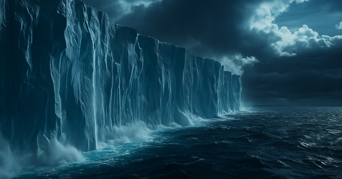
- Thwaites doesn’t actually look like a melting glacier from above. Much of its surface is flat, wind-scoured, and pristine — because the melting is almost entirely submarine. Satellite images that look calm are profoundly misleading.
- Fredrik T. Thwaites, the geologist whose name the glacier bears, was a University of Wisconsin researcher who mapped glacial deposits in the American Midwest and never visited Antarctica. The glacier named after him is now arguably the most consequential piece of ice on the planet.
- Researchers still can’t predict exactly when — or whether — Thwaites will cross the irreversible tipping point. The uncertainty window spans decades. That gap between “soon” and “very soon” is where all of coastal civilization’s adaptation planning has to live.
Frequently Asked Questions
Q: How fast is Thwaites Glacier melting right now?
Current data from the 2022–2023 International Thwaites Glacier Collaboration fieldwork shows the glacier is losing ice at roughly twice the rate predicted by models from the early 2010s. The grounding line retreated 14 kilometers between 1990 and 2022. During peak tidal events, fieldwork recorded up to six centimeters of basal ice loss in a single day. The trend is unmistakably upward.
Q: Why is Thwaites called the Doomsday Glacier?
The nickname reflects its potential to trigger cascading failures across the West Antarctic Ice Sheet. Thwaites itself holds enough ice to raise global sea levels by more than two feet — but it also acts as a structural buttress for neighboring glaciers including Pine Island, Smith, and Kohler. If Thwaites destabilizes, those glaciers lose their anchor point and accelerate seaward. The combined ice volume of the West Antarctic system could contribute up to 10 feet of sea level rise over centuries. That’s the “doomsday” scenario: not an explosion, but an irreversible chain reaction.
Q: Can geoengineering actually stop Thwaites from collapsing?
Most researchers are cautious. Proposals exist — underwater thermal curtains, refreezing injections, sediment barriers at the grounding line — but none have been tested at scale. The engineering required would be unprecedented, the costs staggering, and the international coordination needed has no historical parallel. The more widely held scientific view is that the most effective intervention remains cutting greenhouse gas emissions aggressively to slow ocean warming. Geoengineering buys time. Only emissions reductions change the underlying trajectory.
Editor’s Take — Alex Morgan
What keeps me returning to Thwaites isn’t the scale — it’s the geometry. The bedrock beneath the glacier slopes inward, away from the sea, which means every meter of retreat exposes more ice to warm water, which drives more retreat. There’s no natural equilibrium point waiting further inland. Scientists have known this since the 1970s. We’ve had fifty years to reckon with a mechanism that has no off switch, and the honest answer to why we haven’t is more political than geological. That discomfort is worth sitting with.
Thwaites sits at the end of the Earth, half a world from the cities whose futures it holds in its ice. But the water that eats it comes from an ocean warmed by choices made in boardrooms, parliaments, and at fuel pumps across every continent. The glacier doesn’t know that. It just responds to temperature, to pressure, to the physics it’s always obeyed. What changes now is that we’re the variable — and the question worth losing sleep over is whether we still have enough time to become a different kind of one.
Illustrations are AI-generated. Article fact-checked and human-edited. Our editorial standards.